Tool Identifies Locations for Re-establishing Oyster Beds that Maximize Their Ecological Benefits
Researchers from North Carolina State University have developed a mapping tool that identifies sites for re-establishing oyster reefs that maximize their ecological benefits – such as water filtration. This Geographic Information Systems (GIS)-based tool could inform restoration of other vital, sensitive coastal habitats.
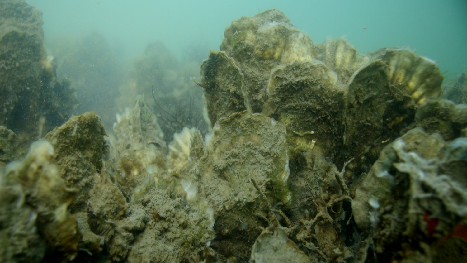
Oyster reefs, salt marshes and seagrass beds provide valuable ecosystem services such as water filtration, shoreline protection and wave buffering during storm events. When these habitats are damaged, restoration efforts are critical to their recovery – and to the overall health of coastal ecosystems and communities. However, not all coastal habitats are created equal, and where restoration or conservation efforts take place makes a big difference in the quantity and quality of ecosystem services delivered.
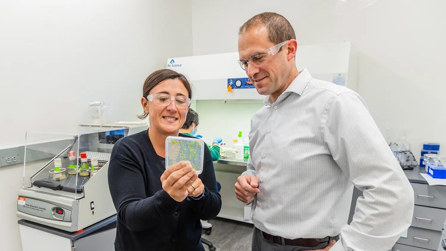
“This work focused on identifying key areas for oyster reef restoration that would provide water filtration benefits in the Pamlico Sound,” says Seth Theuerkauf, scientist at The Nature Conservancy and National Oceanic and Atmospheric Administration, NC State Ph.D. graduate, and lead author of a paper describing the research. “Globally, less than 15 percent of the historic distribution of oyster reefs remain, so restoration efforts have to focus on efficiency. The current challenge is to identify areas where restoration efforts would yield maximum ecosystem services.”
Theuerkauf and NC State colleagues David Eggleston, professor of marine sciences, and Brandon Puckett, former NC State Ph.D. student and current research coordinator for the NC Coastal Reserve, utilized GIS tools to develop a model that could predict the best locations for oyster bed reestablishment that would provide maximum likely water filtration benefits.
“Typical models currently focus on basic environmental factors, such as water salinity and the restoration’s impact on other uses of coastal space, like fishing or boating,” Theuerkauf says. “Our model goes beyond that and takes into account the impact and variation in ecosystem services oyster reefs provide.”
The researchers developed three versions of their model: one that identified areas where oyster restoration yielded maximum water filtration benefits; one that identified areas that would best sustain the overall oyster population; and another that identified areas with a balance between water filtration and population enhancement.
“We are excited that this tool has proven useful to guide local restoration efforts such as the Swan Island Oyster Sanctuary restoration project currently underway in North Carolina,” Theuerkauf says. “The beauty of this model and approach is that it can be modified for use in a number of different habitat restoration efforts – such as mangrove restoration in Florida, where the benefits the habitat provides are different from those of oyster reefs, but similarly very valuable.”
The research appears in PLOS One. Funding was provided by North Carolina Sea Grant and Space Grants, the National Defense Science and Engineering Graduate Fellowship, and the National Science Foundation.
-peake-
Note to editors: An abstract follows
“Integrating ecosystem services considerations within a GIS-based habitat suitability index for oyster restoration”
DOI: 10.1371/journal.pone.0210936
Authors: Seth Theuerkauf, David Eggleston, Brandon Puckett, North Carolina State University
Published: PLOS One
Abstract:
Geospatial habitat suitability index (HSI) models have emerged as powerful tools that integrate pertinent spatial information to guide habitat restoration efforts, but have rarely accounted for spatial variation in ecosystem service provision. In this study, we utilized satellite-derived chlorophyll a concentrations for Pamlico Sound, North Carolina, USA in conjunction with data on water flow velocities and dissolved oxygen concentrations to identify potential restoration locations that would maximize the oyster reef-associated ecosystem service of water filtration. We integrated these novel factors associated with oyster water filtration ecosystem services within an existing, ‘Metapopulation Persistence’ focused GIS-based, HSI model containing biophysical (e.g., salinity, oyster larval connectivity) and logistical (e.g., distance to nearest restoration material stockpile site) factors to identify suitable locations for oyster restoration that maximize long-term persistence of restored oyster populations and water filtration ecosystem service provision. Furthermore, we compared the ‘Water Filtration’ optimized HSI with the HSI optimized for ‘Metapopulation Persistence,’ as well as a hybrid model that optimized for both water filtration and metapopulation persistence. Optimal restoration locations (i.e., locations corresponding to the top 1% of suitability scores) were identified that were consistent among the three HSI scenarios (i.e., “win-win” locations), as well as optimal locations unique to a given HSI scenario (i.e., “tradeoff” locations). The modeling framework utilized in this study can provide guidance to restoration practitioners to maximize the cost-efficiency and ecosystem services value of habitat restoration efforts. Furthermore, the functional relationships between oyster water filtration and chlorophyll a concentrations, water flow velocities, and dissolved oxygen applied in this study can guide field- and lab-testing of hypotheses related to optimal conditions for oyster reef restoration to maximize water quality enhancement benefits.
- Categories: