hurricane
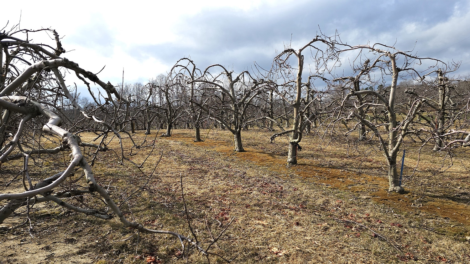
Blooms of Spring Kick Off Helene Recovery

Using Machine Learning To Map Floods

New model uses satellite imagery, machine learning to map flooding in urban environments
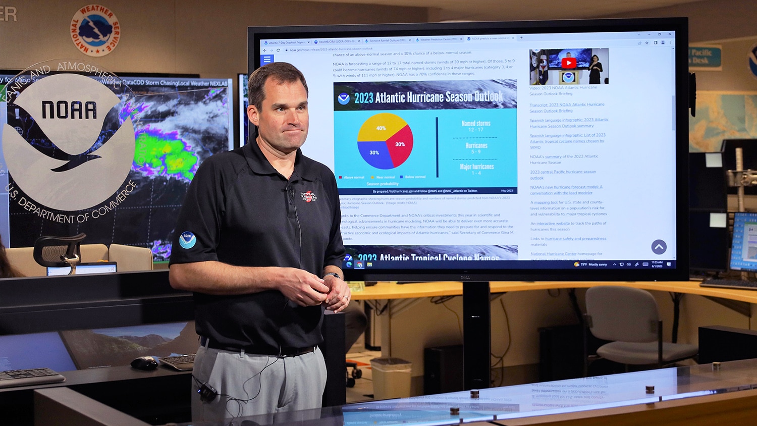
NC State Alumni Lead Nation’s Hurricane Preparedness Efforts
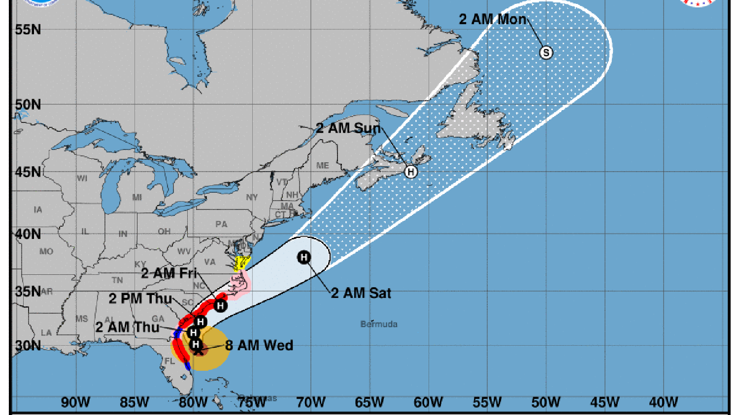
Experts Can Discuss Hurricane, Flood, Recovery Issues
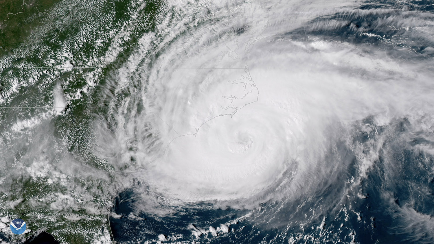
NC State Researchers Predict Normal 2019 Hurricane Season for East Coast
