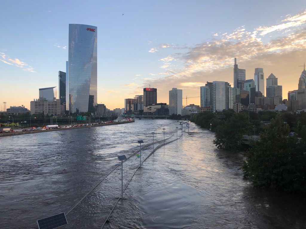
flooding

A flooded street in Philadelphia, Pennsylvania, in the aftermath of Hurricane Ida, which caused significant damage across the northeastern U.S. in 2021.

Aug 14, 2024

Using Machine Learning To Map Floods

A graduate student at the Center for Geospatial Analytics trained a machine-learning model to create maps that could help identify potentially flood-prone areas in urban settings. 

Jul 31, 2024

New model uses satellite imagery, machine learning to map flooding in urban environments
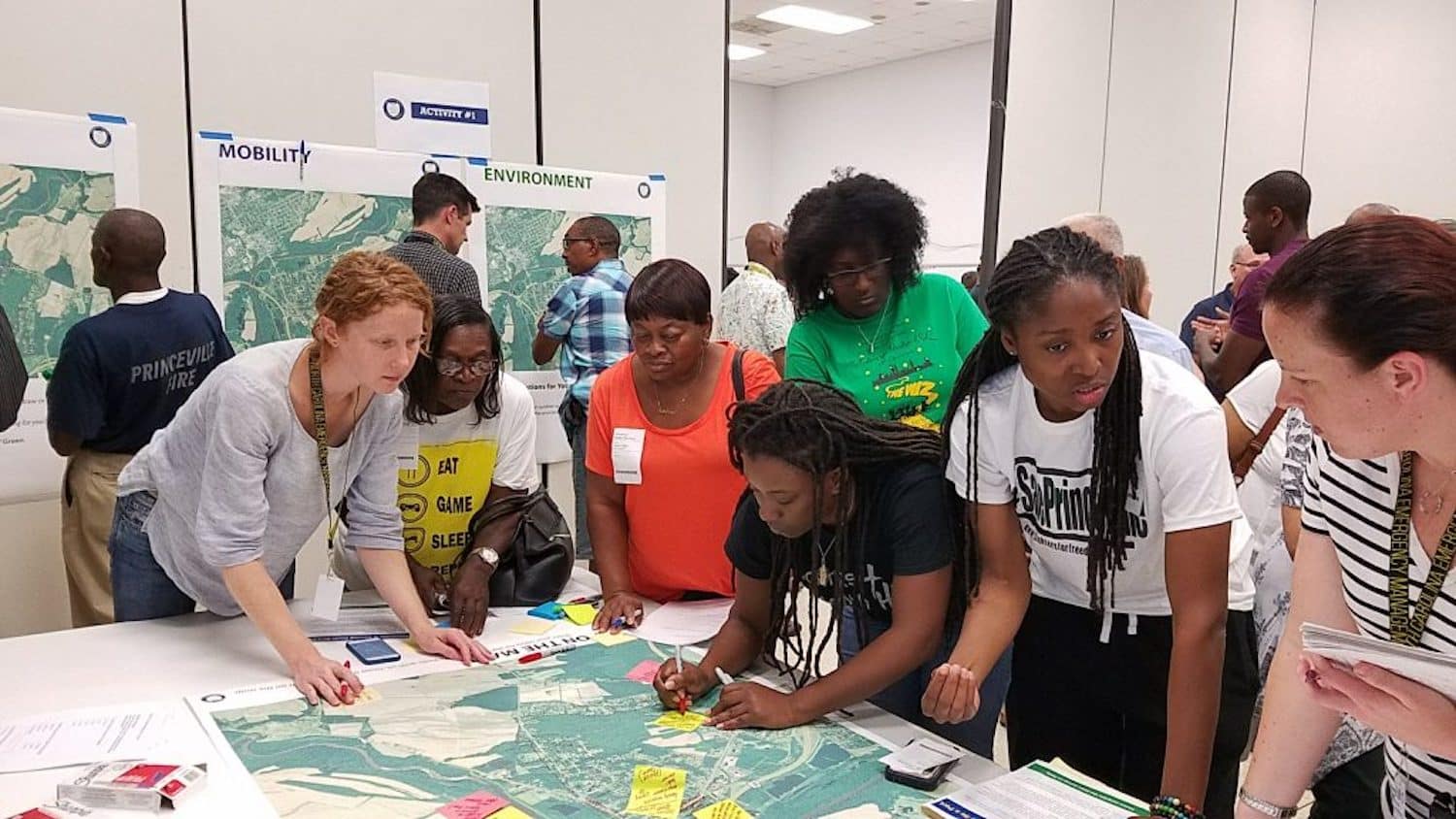
As climate change causes storms to intensify, new tools are needed to map where flooding occurs in under-studied areas. A new mapping tool from North Carolina State University uses machine learning and open-source satellite imagery to model flooding in urban environments. The new model could create maps that predict urban area flooding, which traditionally have… 

nc-state-coastal-dynamics-design-lab

Aug 23, 2023

NC State Named Finalist for 2023 C. Peter Magrath Community Engagement Scholarship Award
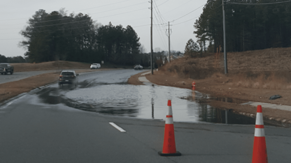
The Association of Public and Land-grant Universities (APLU) named North Carolina State University a regional winner of the 2023 W.K. Kellogg Foundation Community Scholarship Award. As a winner, NC State will compete for the national C. Peter Magrath Community Engagement Scholarship award, which will be announced in November.  The award recognizes the work of NC State’s Coastal… 

Road flooding

May 13, 2022

Study Finds Soil Composition Isn’t Key to Southeast Raleigh Flooding
Findings from a recent study suggest the soil is unlikely the culprit behind recurrent flooding in the Walnut Creek watershed. 

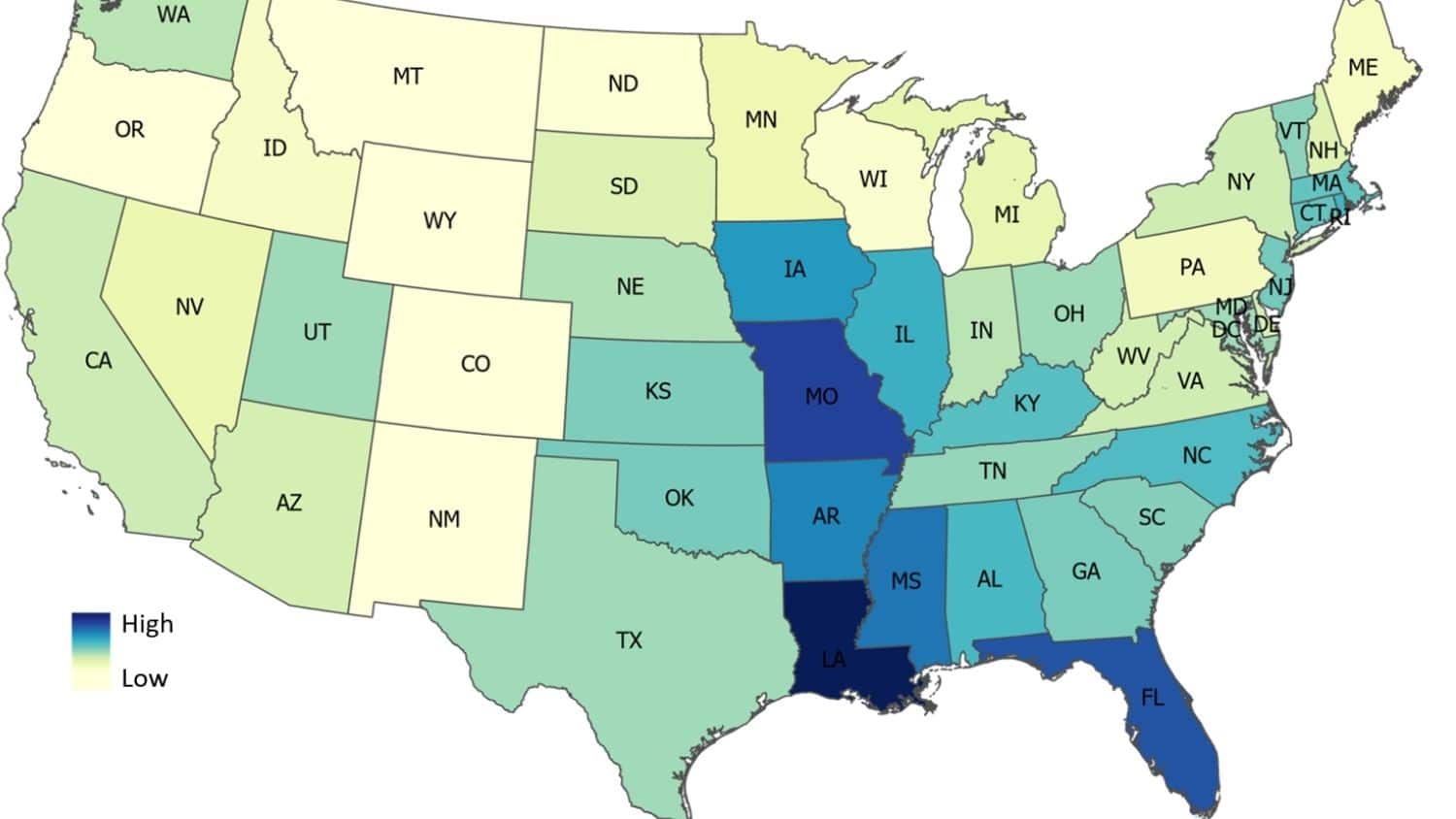
Map of the United States showing predicted average flood damage risk by state or district.

Feb 22, 2022

Study: U.S. Flood Damage Risk Is Underestimated

NC State researchers say their method of using machine learning to estimate flood risk offers a way of rapidly updating flood maps.