How Do Scientists Predict the Size of a ‘Dead Zone’?

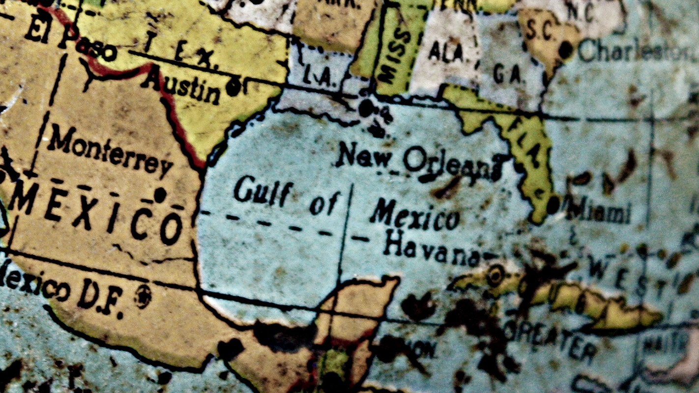
Later this month, NOAA will announce its prediction for how big the hypoxic “dead zone” will be in the Gulf of Mexico. This year the forecast will be based on an ensemble that incorporates the results of four different computer models. But what is a dead zone? And how do researchers predict how big it will be?
The hypoxic zone, or dead zone, in the Gulf is an area with extremely low oxygen levels. It’s called a dead zone because there is so little oxygen that fish and shellfish – including economically important species, such as shrimp – can’t survive there.
“The hypoxic zone can cause mortality in organisms that live on the Gulf floor, like crabs, but many fish are able to avoid it,” says Dan Obenour, an environmental engineer at NC State, who developed a new model that will be part of NOAA’s ensemble hypoxia forecast. “In any case, the zone significantly reduces the habitat for many fish species, which threatens fisheries.”
Creating a Dead Zone
Hypoxia is caused by a confluence of factors, but the two most significant variables are the nutrients that the Mississippi River dumps into the Gulf and the stratification of the waters in the Gulf.

Each year the Mississippi dumps a massive load of nutrients into the Gulf, largely stemming from agricultural runoff across the Mississippi River Basin. These nutrients serve as fertilizer for aquatic plant life, resulting in algal blooms. As the algae decomposes, or is eaten and excreted by animals, it creates enormous amounts of organic matter that sink to the bottom of the Gulf.
This increase in organic matter presents a smorgasbord for the bacteria that devour it. But those bacteria use up oxygen – and as the bacteria thrive on their newfound meal ticket, they consume more and more of the oxygen in the water.
“In short, the nutrients are the fuel that drive the creation of the hypoxic zone,” Obenour says. But the stratification of the water is what allows that zone to linger and grow.
At issue is something called the “pycnocline,” which is where the warmer, fresher water at the surface of the Gulf meets the colder, saltier water in the Gulf’s depths. The cold, salty water is much denser than the warm, fresh water, creating a clear distinction between the two layers.
The difference in the density of the two water layers is important, because the greater the disparity in density, the less mixing occurs across the pycnocline. That means less oxygen in the surface layer makes its way into deeper waters – and the oxygen being used up by the algae-eating bacteria can’t be replenished.
This is also why the dead zone disappears every year. Each autumn, when surface temperatures cool and winds increase, surface waters are able to mix with deeper waters again – and the oxygen levels return to normal.
Forecasting Hypoxia
To help fisheries managers and other public officials make planning decisions, each year NOAA issues an annual forecast that predicts the size of the hypoxic zone.
This year marks the first time that the NOAA forecast will be made up of results from multiple models that incorporate data on nutrient loads from the Mississippi, weather and oceanographic conditions.
Each of the models takes a slightly different approach to accounting for the dynamics that drive hypoxic zones – and that’s a good thing.
“By combining multiple models, we hope to create a more robust forecast that does a better job of accounting for uncertainty,” says Obenour, who is tasked with creating the ensemble forecast based on the results of all four models.
“For example,” Obenour says, “the model I developed accounts for mean wind velocity across the relevant portion of the Gulf. Winds affect the amount of nutrients and freshwater flow that are delivered to the shallow part of the Gulf where hypoxia forms. The other models don’t explicitly consider wind when developing seasonal forecasts, but they may consider other processes in more detail than my model.”
Other research institutions that contributed to the hypoxia forecast modeling effort include the University of Michigan, Louisiana State University, the Louisiana Universities Marine Consortium, the College of William & Mary’s Virginia Institute of Marine Science, Texas A&M University, and the U.S. Geological Survey.
It’s not yet clear what NOAA’s forecast for the 2015 dead zone will look like. But at least now you’ll have a good idea of what went into it.
- Categories:


