
Megan Skrip

Jan 12, 2024

First, Do No Harm: Guidance for Community-Engaged Research After Disasters

After disasters, the people impacted are often called upon to participate in scientific research, but survivors have needs that must be met with respect and consideration. 

Dec 5, 2023

How Open Science Can Both Advance and Hinder Equity in Research

Not all aspects of open science currently deliver on the promise of equity. 

illustration shows many gears interlocking with each other. at the center of each gear is an illustration related to scientific subjects

Nov 17, 2023

What Is Open Science? An Intro, Common Misconceptions and Advice

2023 is the year of open science. But what exactly does that mean? 

photo shows three people seated at a table working on laptop computers. two additional people are looking over their shoulders. the body language suggests they are working collaboratively on a project.

Oct 4, 2023

NSF-Funded Project Will Expand Access to Open-Source Geospatial Program

The effort will update, and expand access to, a geospatial software platform used in efforts ranging from infrastructure planning to understanding wildlife distribution. 

Snowflake

Nov 30, 2022

New Visualization Tool Helps Weather Forecasters and Researchers More Easily Identify and Study Bands of Heavy Snow

NC State researchers developed a technique to allow weather forecasters and atmospheric scientists to distinguish heavy snow from mixed precipitation. 

Jun 14, 2022

Study: People Are Most Physically Active When Their Environments are Both Highly Walkable and Very Green

New research used wearable sensors and satellite data to identify how a person’s environment affects their level of daily exercise. 

NC State University doctoral researcher Will Reckling prepares to launch a drone on Roan Mountain, NC, to map the area for endangered high-elevation plants.

Nov 8, 2021

Keeping Track of Rare Mountaintop Plants with Drones

Drones allow researchers to more safely and efficiently monitor endangered high-elevation plants. 

Kate Jones

Apr 27, 2021

Where There’s Smoke: Reducing Downwind Impacts of Prescribed Burns

How modeling and data visualization will help protect communities downwind of prescribed burns. 

Will Reckling pilots a drone custom-equipped to sample water

Aug 13, 2020

Taking Research With Drones to New Heights

NC State alum and current doctoral student Will Reckling is putting drones to work in new and unique ways to monitor the environment. 

view of university gateway sign from ground up.

Feb 3, 2020

Remote Sensing and the Science of Sound

Does boat noise bother fish? Geospatial Analytics Ph.D. student Shannon Ricci is innovating the detection of small boats in satellite imagery to better understand the impacts of maritime traffic on underwater soundscapes. 

Christmas tree farm in North Carolina

Dec 17, 2019

UAVs and Christmas Trees: New Research to Help NC Growers Benefit From Drone Technology

Can drones give the Christmas tree business a leg up? Let's find out! 

spotted lanternfly adult with town in background

Jul 15, 2019

A New Way to Help Stop Insect Pests in Their Tracks

The spotted lanternfly is one of many invasive insect pests causing economic and ecological damage in the US. A new geospatial decision-support tool developed at NC State is helping managers to curb their spread. 

Vishnu Mahesh Vivek Nanda stands next to the GeoLab sign

Mar 14, 2019

Partnership With Wake County a New Think (and Do) Tank for Harnessing Spatial Data

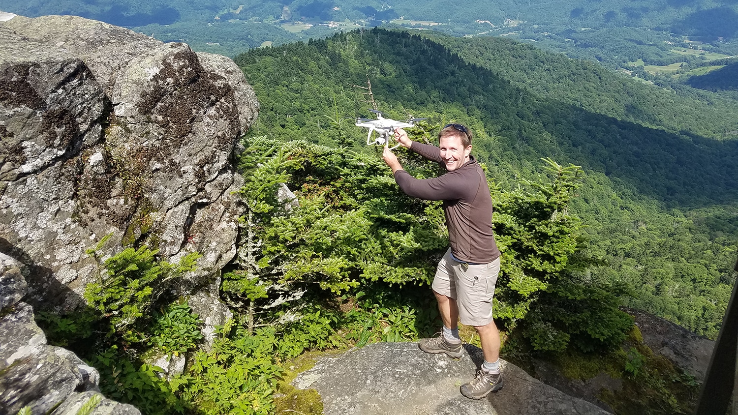
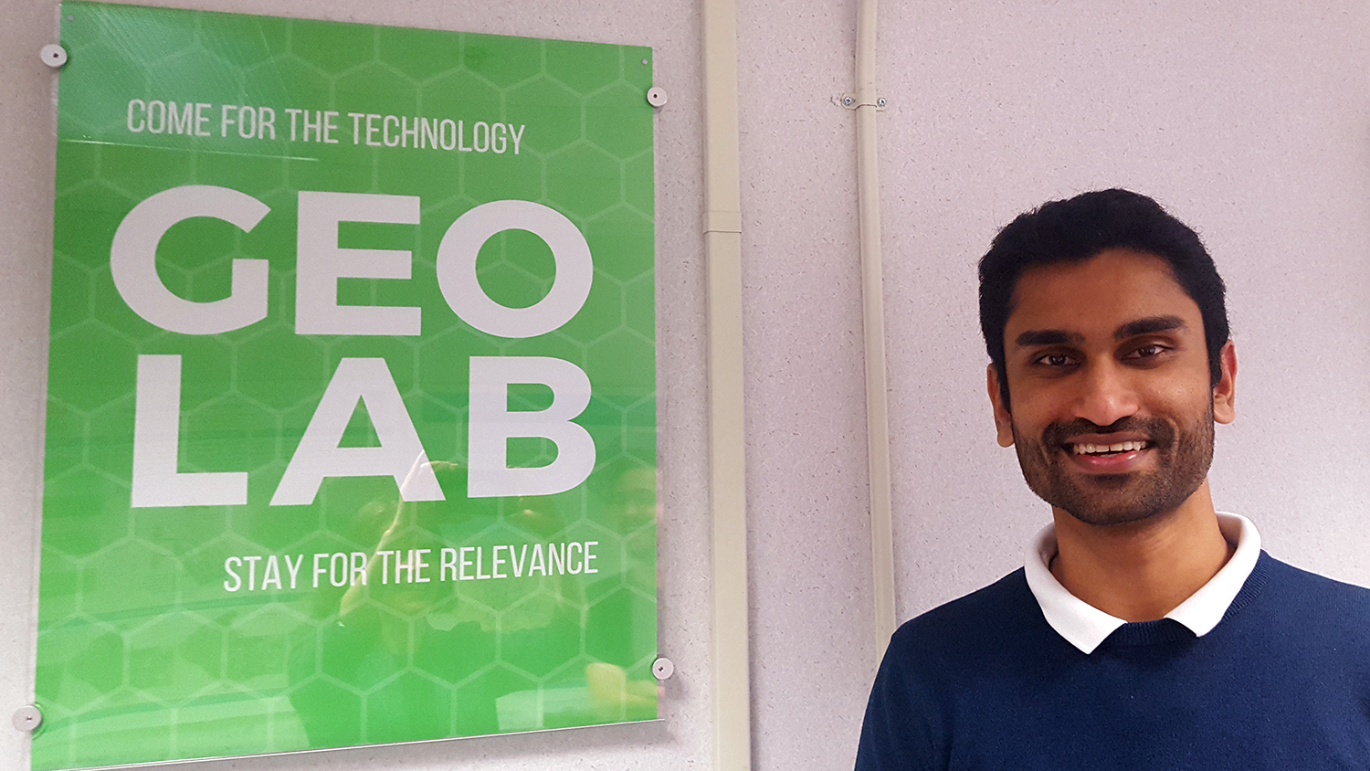
Through a new partnership called Geo-IDEAS, NC State and Wake County are developing innovative approaches to incorporate spatial analysis and decision-making.