center for geospatial analytics
Study: U.S. Flood Damage Risk Is Underestimated
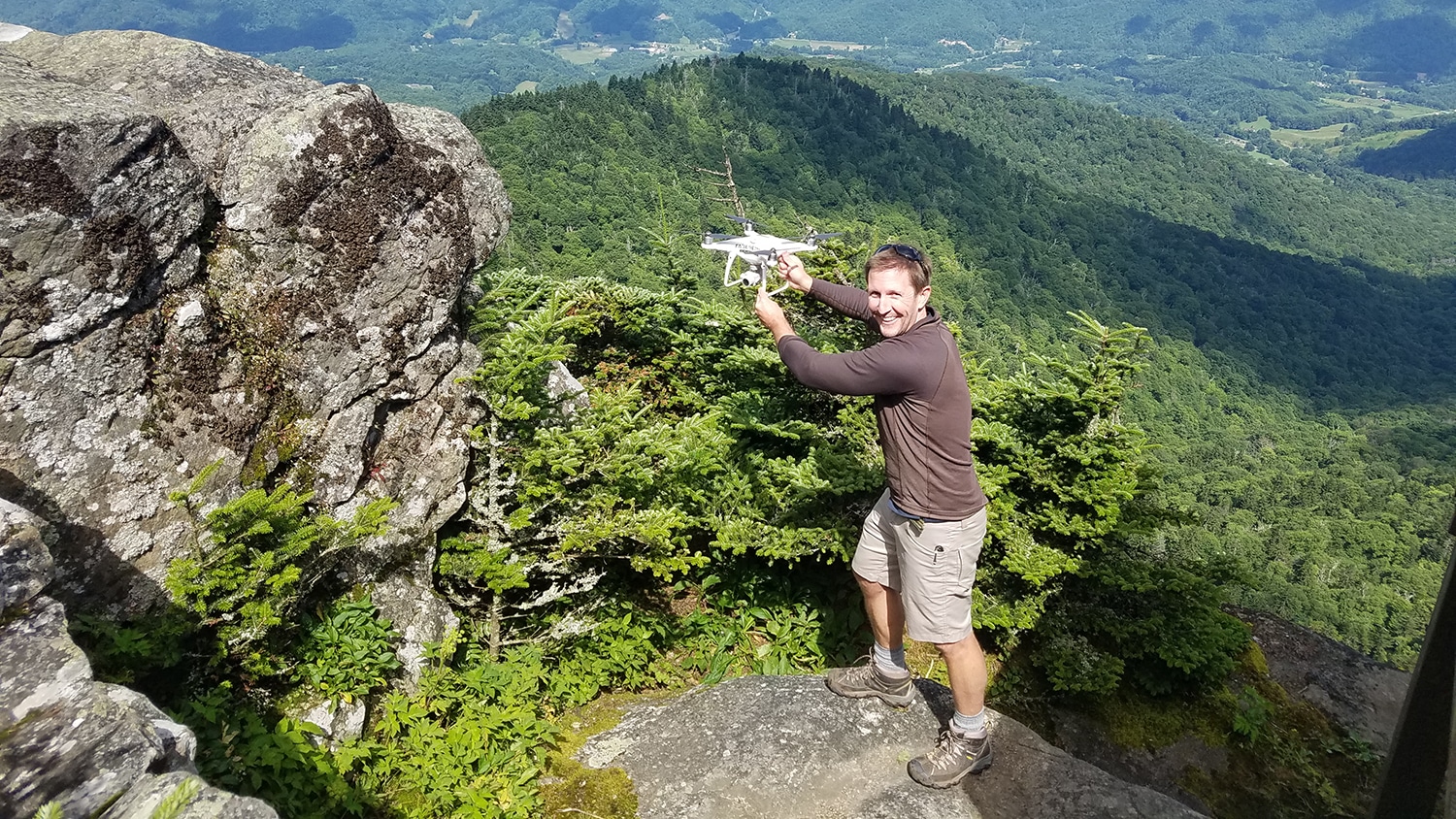
Keeping Track of Rare Mountaintop Plants with Drones
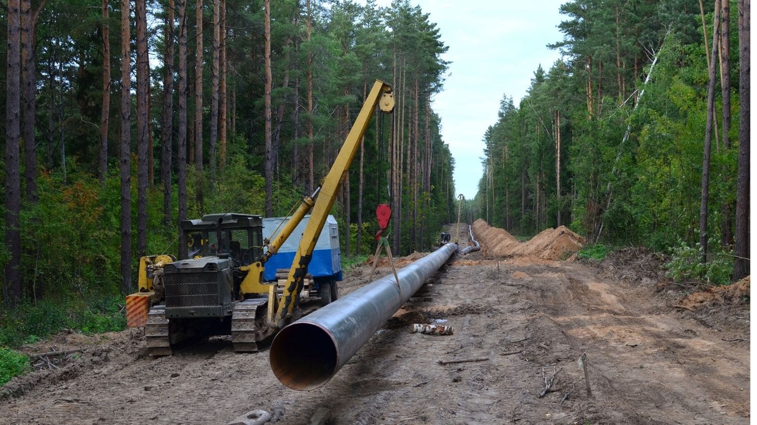
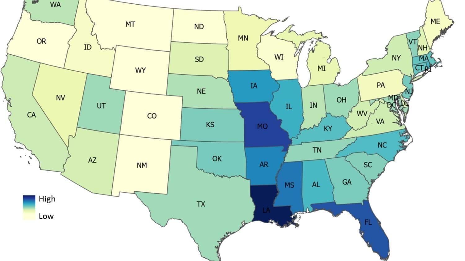
Natural Gas Pipeline Density Higher Overall in More Vulnerable U.S. Counties
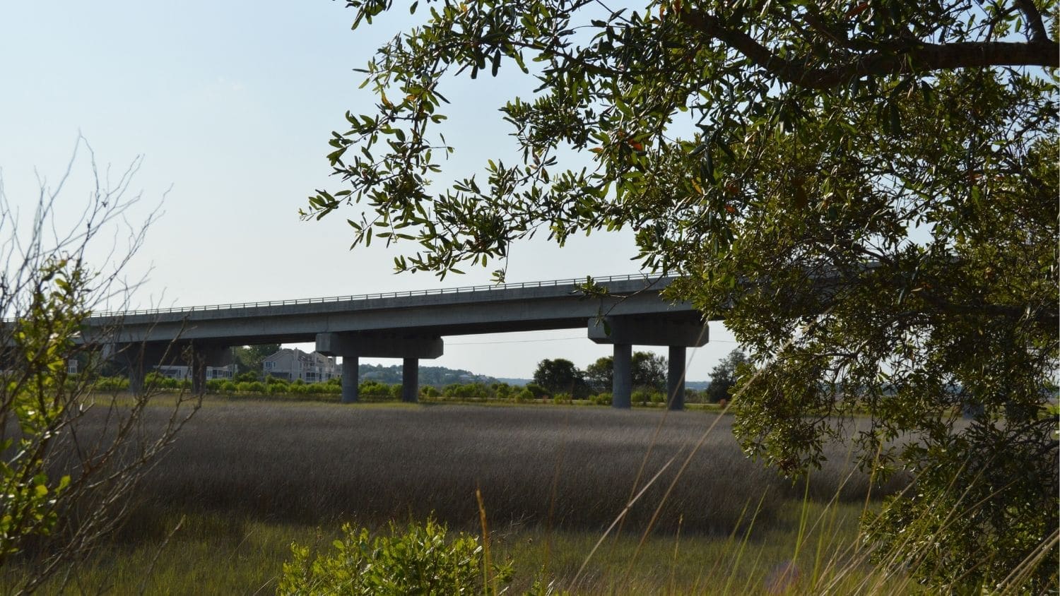
Study Offers Insights for Mapping ‘Coastal Squeeze’ Impacts to Historical, Natural Sites
Where There’s Smoke: Reducing Downwind Impacts of Prescribed Burns
Analysis: Studies of U.S. National Parks Are Trending Down, Focused on Popular Parks
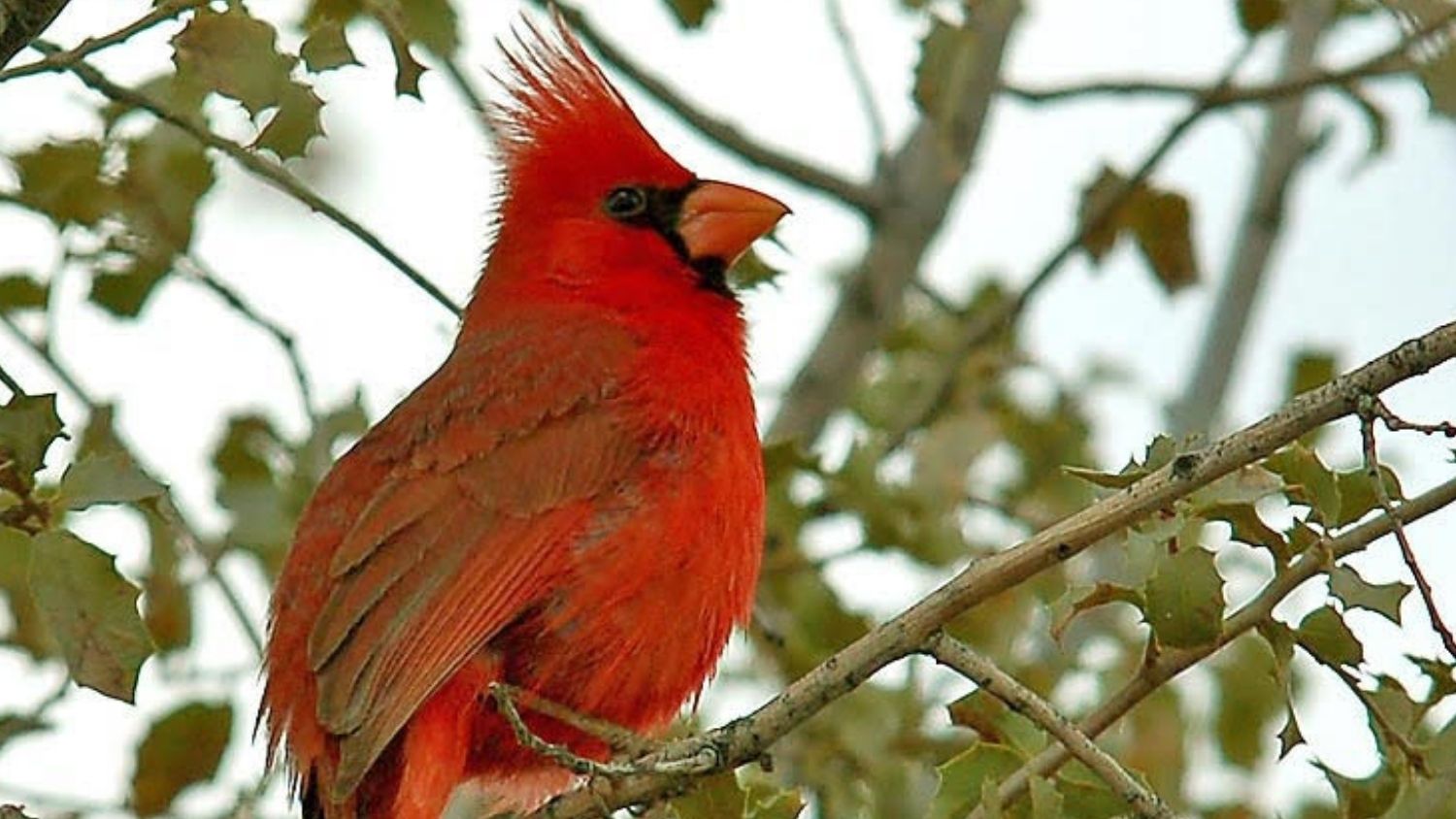
Noise and Light Pollution Impact Songbird Reproduction
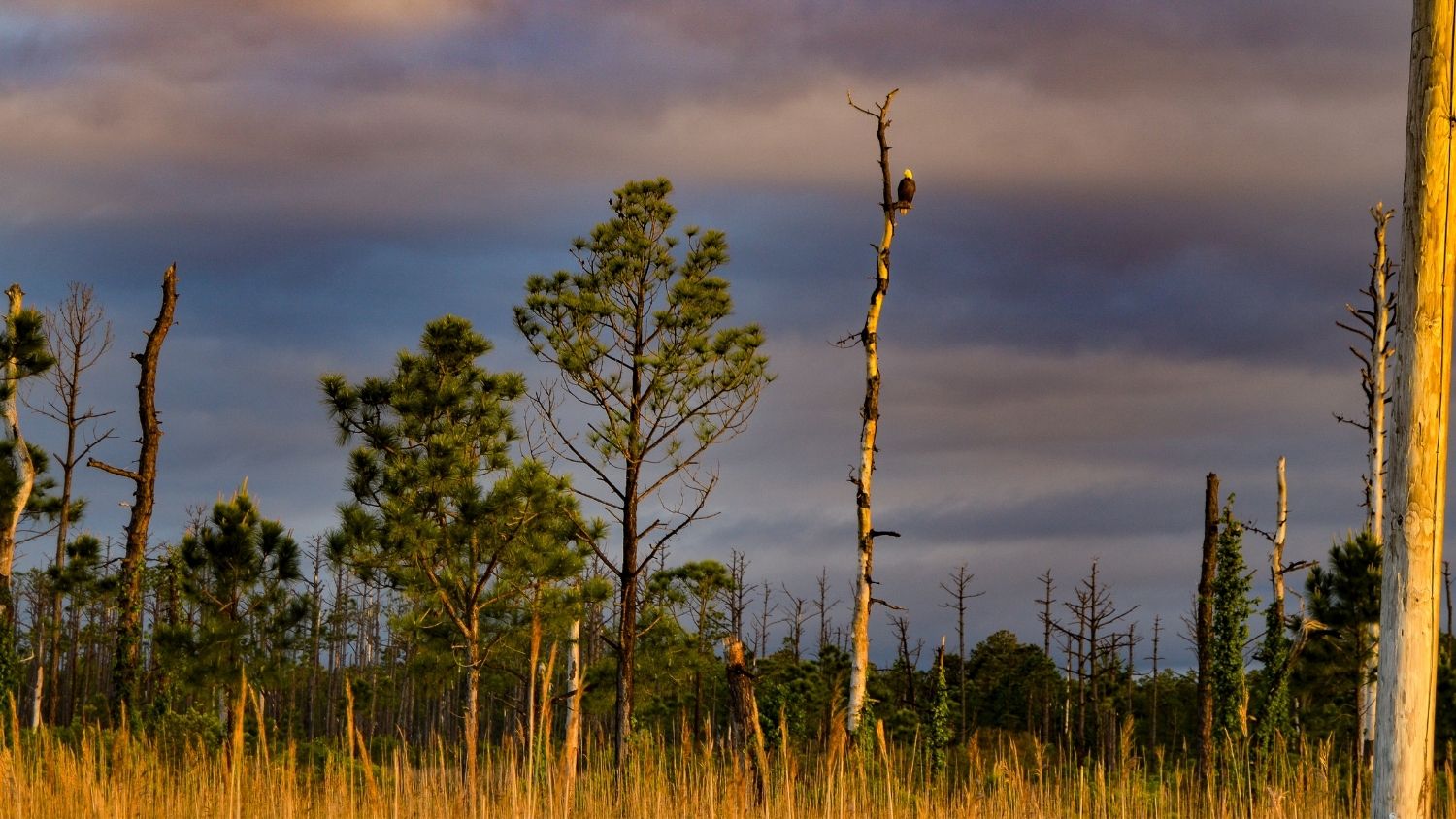
Study Finds Spreading Ghost Forests on N.C. Coast May Contribute to Climate Change
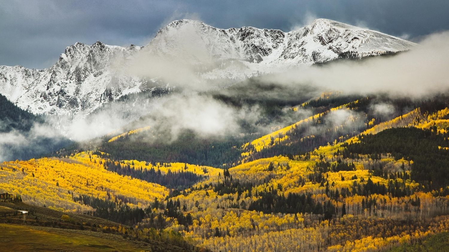
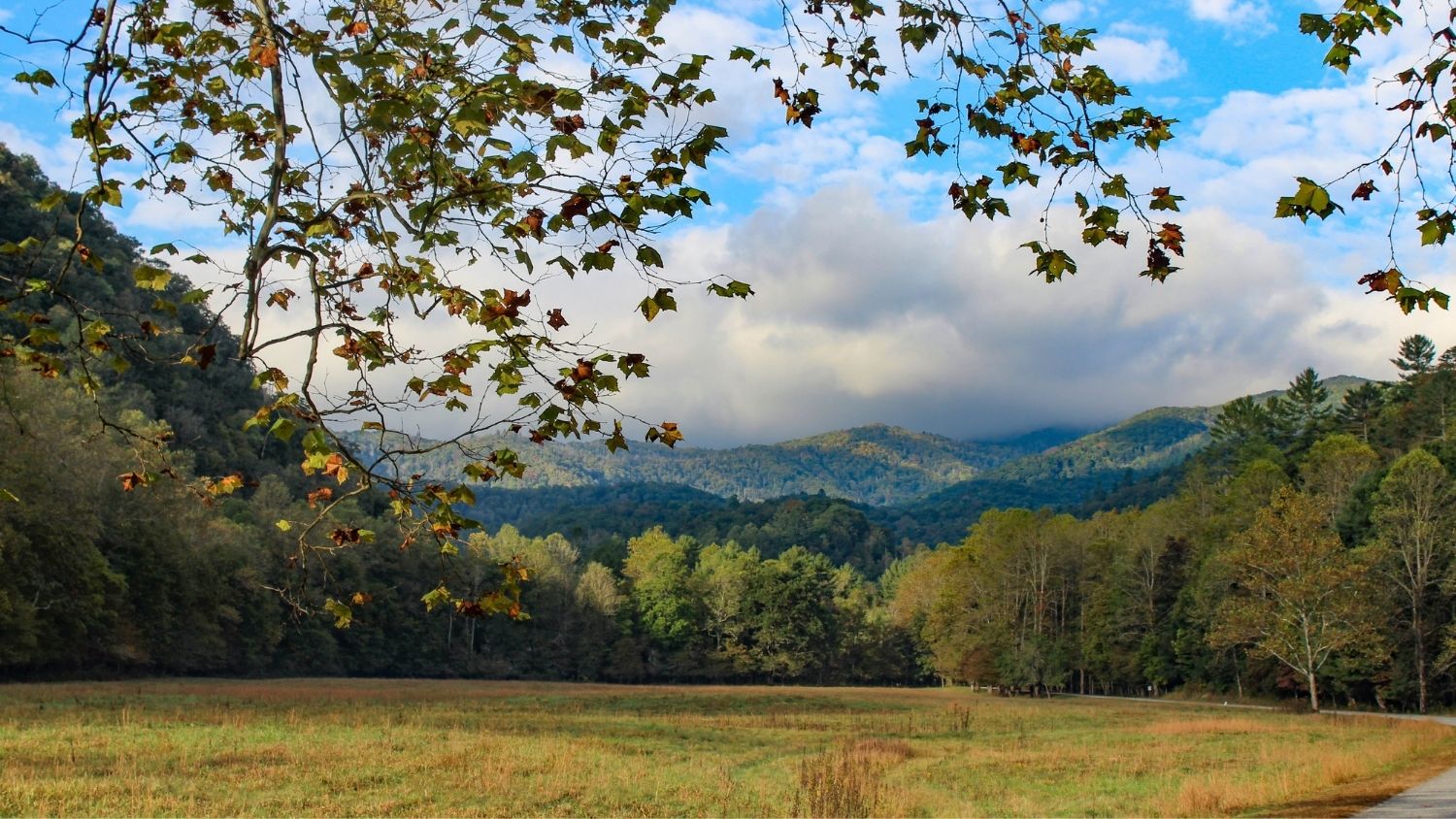
Colorado’s Famous Aspens Expected to Decline Due to Climate Change
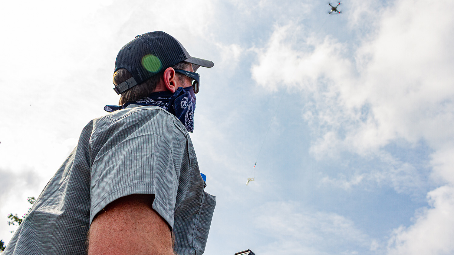
Taking Research With Drones to New Heights

Remote Sensing and the Science of Sound
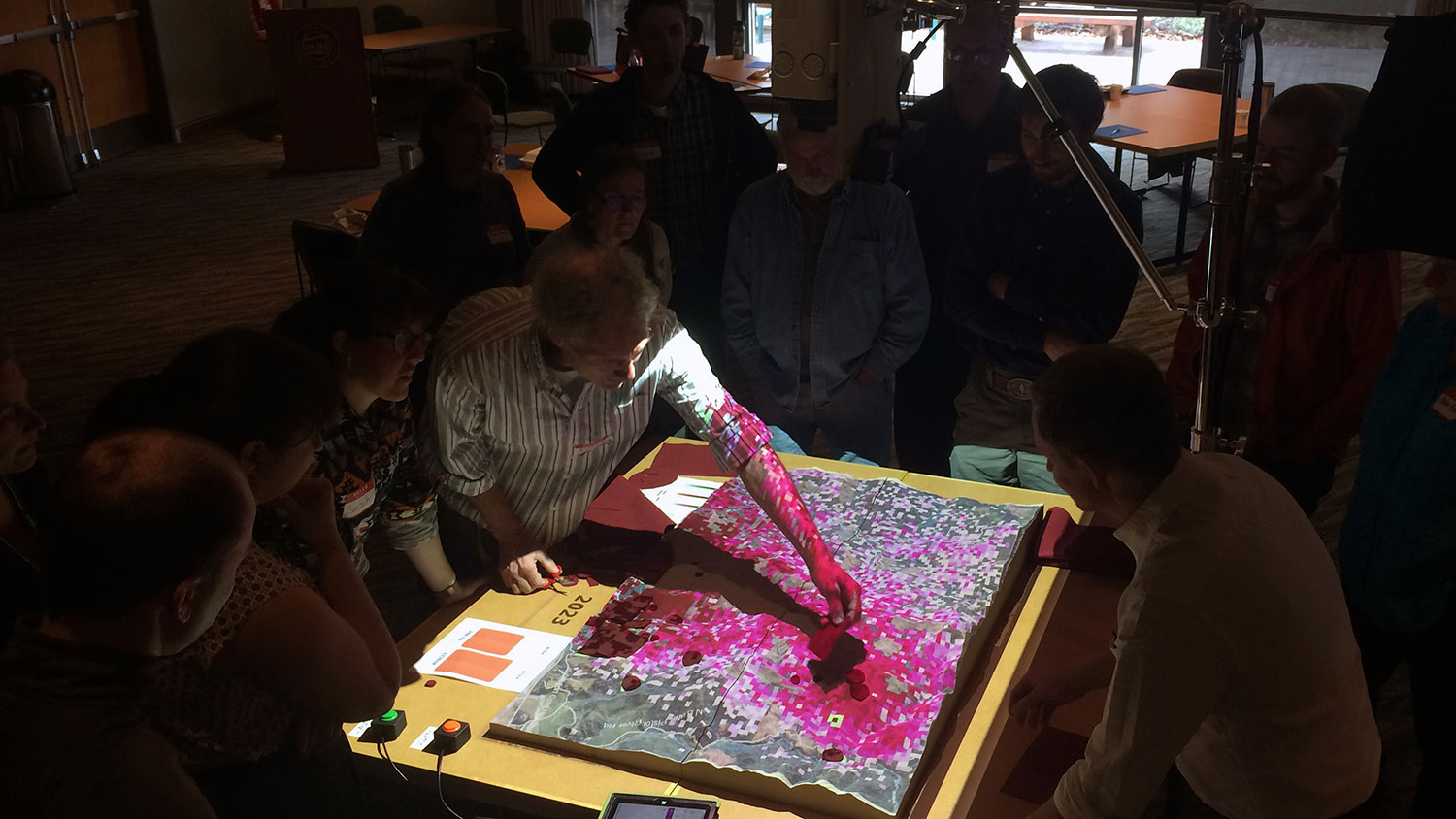
Can a Hands-on Model Help Forest Stakeholders Fight Tree Disease?
Unique Partnership Sheds Light On Energy Challenges for Low-Income Households
Partnership With Wake County a New Think (and Do) Tank for Harnessing Spatial Data