center for geospatial analytics
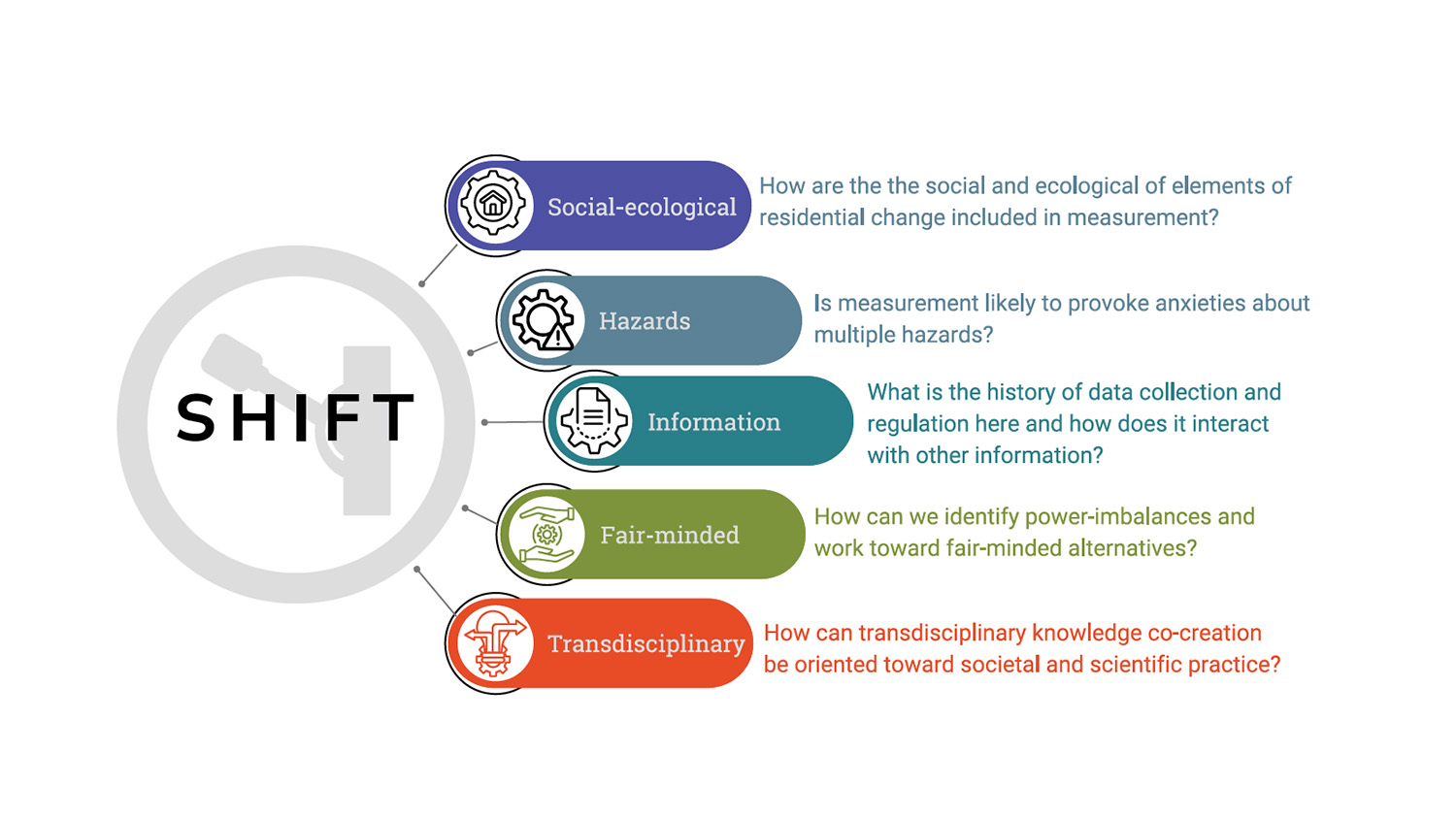
First, Do No Harm: Guidance for Community-Engaged Research After Disasters
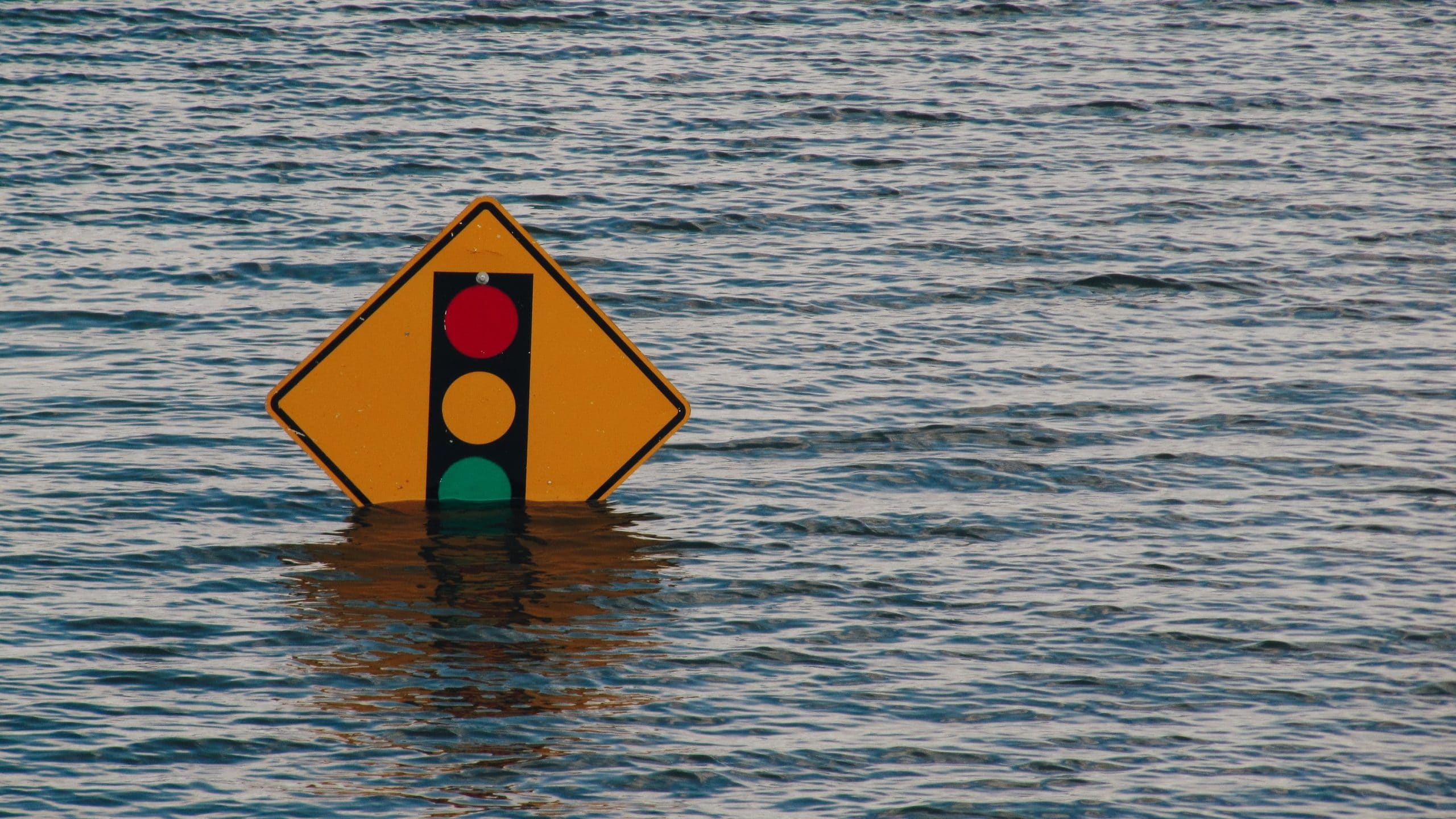
How Open Science Can Both Advance and Hinder Equity in Research
What Is Open Science? An Intro, Common Misconceptions and Advice
New Model Adds Human Reactions to Flood Risk Assessment
Greener Neighborhoods Can Protect Us – at the Cellular Level
NSF-Funded Project Will Expand Access to Open-Source Geospatial Program
New Tool Maps South Florida Fire Risk Pixel by Pixel
Researchers Use Geospatial Analytics and AI to Develop Global Food Security Solutions
Scientists Use Satellites To Track Earth ‘Greening’ Amid Climate Change
New Visualization Tool Helps Weather Forecasters and Researchers More Easily Identify and Study Bands of Heavy Snow
Study: People Are Most Physically Active When Their Environments are Both Highly Walkable and Very Green
Invasive Insect That Kills Grapes Could Reach California Wine Region by 2027
During Droughts, Thirstier Mountain Forests Could Mean Less Water Downstream
Study: U.S. Flood Damage Risk Is Underestimated