New Tool Maps South Florida Fire Risk Pixel by Pixel
For Immediate Release
North Carolina State University researchers have designed and tested a new computer model to allow fire managers to map current fire risk in Everglades National Park and across South Florida daily. The new modeling tool, called “FireHydro,” can help park managers plan prescribed burns to reduce the potential for large wildfires for the region, taking into account the area’s unique water resources.
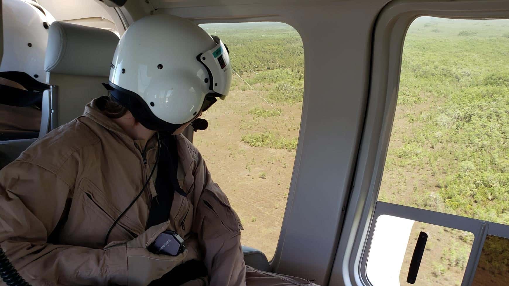
“We designed this model to help managers understand how fires might spread, and give them an indication of when and where it would be a good time for a prescribed burn,” said the study’s first author Kate Jones, graduate research assistant in the NC State Center for Geospatial Analytics. “They are managing fires on the order of thousands of acres; this model could potentially reduce the amount of time they are using helicopters or using other resources to do reconnaissance on how a fire is burning or behaving.”
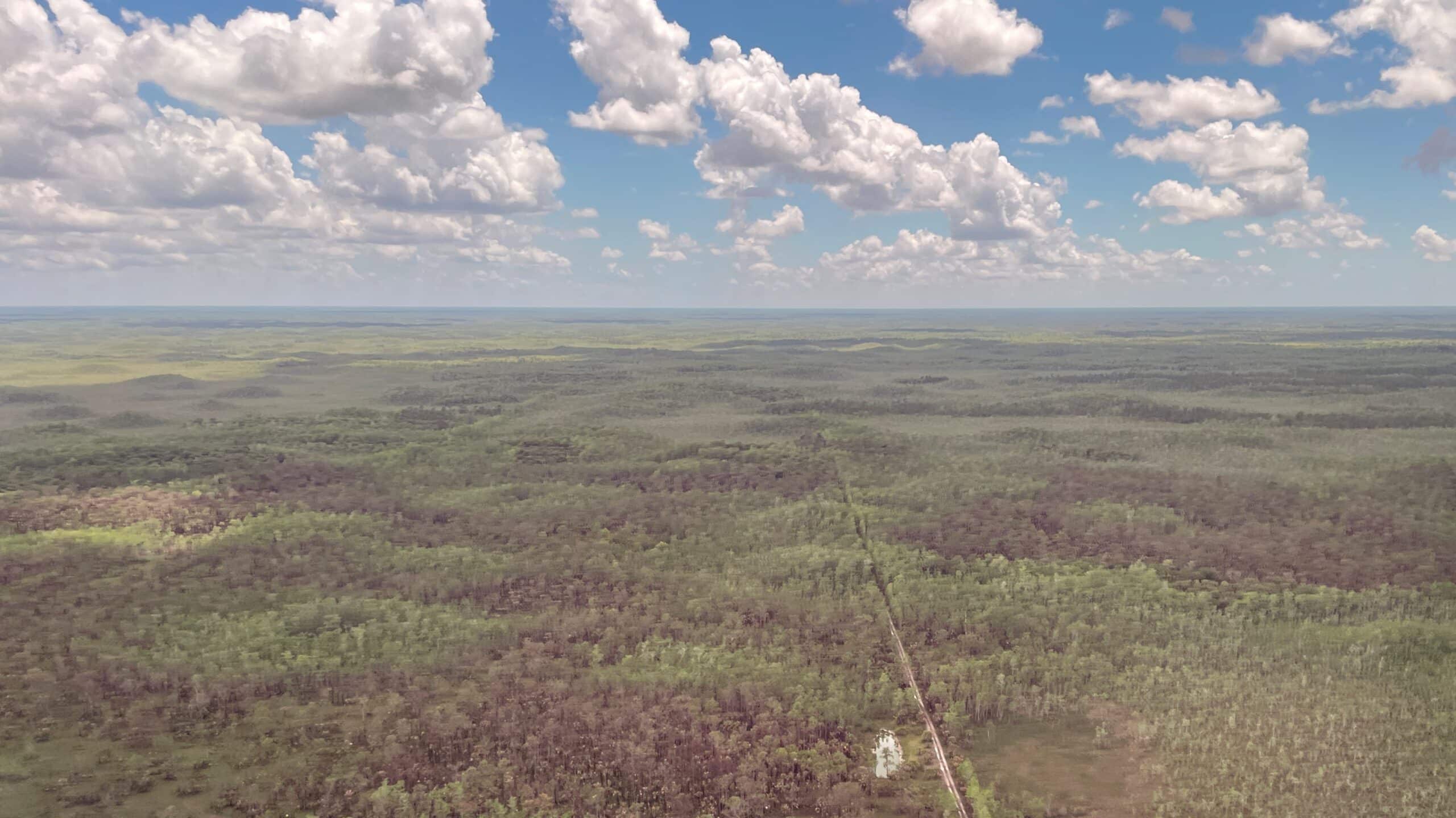
South Florida – including Everglades National Park and Big Cypress National Preserve – is a unique landscape with one of the largest prescribed fire programs in the United States. It has many fire-adapted plant species and a long history of prescribed fire. Indigenous peoples used fire to promote the growth of medicinal herbs and open up the landscape to improve hunting. Park managers have used prescribed fire in Everglades National Park since the 1950s. Currently, prescribed fire is used to manage the landscape for fire-adapted species, and as a control method for wildfires, which burn, on average, 50,000 to 100,000 acres annually, started by lightning or by humans.
“Prescribed fire is used to reduce the available fuel on the ground to get ahead of the wildfire risk,” said the study’s corresponding author Jelena Vukomanovic, assistant professor of parks, recreation and tourism management at NC State. “This is a very fire-adapted system. The vegetation that dominates this landscape – including sawgrasses and pines – burns naturally on a one-to-three-year cycle. This is a rapidly growing area with an enormous agriculture industry, so the risks from wildfires are significant.”
Already, fire managers have a tool called the National Fire Danger Rating System to assess fire risk, support fire management and allocate resources. But South Florida is unique because of its water resources: it has strong seasonal rains, and a series of water management districts that supply water for agriculture as well as urban areas.
“The interesting part about wildfires in this landscape is that they’re so hydrologically dominated,” Jones said. “When a wildfire burns, it can move quickly, but it might slow itself by running into wetter parts of the landscape. This patchwork makes managing wildfires different here than in other places, and that applies to prescribed fire as well.”
The researchers created their model to assess a fire risk per map pixel. They combined information on vegetation, weather data, the location of previous burns and water-level data from the Everglades and Big Cypress National Preserve, drawn from a network of gauges from the U.S. Geological Survey. The researchers also worked directly with fire managers to assess the fire risk accuracy for specific areas.
“We spent a great deal of time working to understand the risk relationship between the different vegetation types and water levels, and fine-tuning that with what fire managers experience on the ground in terms of how certain fuels behave,” Vukomanovic said.
The researchers also fine-tuned their model by running it retroactively to see what it would say about historical prescribed burns and wildfires. They also tested it to make sure it captured the seasonality of wildfires, showing higher wildfire risk in the spring.
Now, researchers say their model can be used to determine fire risk and parts of the landscape that are retaining water or losing water quickly to plan prescribed burns, to assess resources for active wildfires, or to predict the likely direction and extent of a fire’s spread.
“They can use it throughout wildfire season to understand which parts of the landscape are drying out quicker than others, and visualize areas with greater fire risk,” Jones said.
While their model does not make future predictions about wildfires under climate change, researchers said tools like it could still be useful in the future for understanding relative fire risk in South Florida, or other regions. Climate change is expected to increase the frequency of fire globally; unprecedented wildfires have already been observed in some areas amid hotter and drier conditions.
“We’d like to keep working in this landscape to improve this model, but South Florida is not the only unique location that’s going to be experiencing new and heightened fire risk,” Vukomanovic said. “There is a need for improved regional fire modeling to assess the risk from wildfires and inform prescribed burn programs.”
The study, “Mapping South Florida Daily Fire Risk for Decision Support Using Fuel Type, Water Levels and Burn History” was published online in Fire on June 14. The research was funded by National Park Service grant P20A C01020-01.
-oleniacz-
Note to Editors: The study abstract follows.
Mapping South Florida Daily Fire Risk for Decision Support Using Fuel Type, Water Levels and Burn History
Authors: Kate Jones and Jelena Vukomanovic
Published: June 14, 2023, Fire
DOI: 10.3390/fire6060236
Abstract: Mapping fire risk in South Florida depends on spatially varying water levels, fuel characteristics, and topography. When surface water levels recede below the lowest topographic features (cypress strands, marshes, etc.), the ecosystem loses its natural, wetted fire breaks, and landscape-level fire risk increases. We developed a geospatial method to generate daily, categorical fire risk maps; the maps visualize low-to-high risk areas using a newly developed 100 m DEM, modeled water levels, fuel types, and fire management units. We assigned fire risk by creating a water level distribution for each unique combination of fuel type and fire management unit; fire risk was then assigned for each pixel based on risk percentiles commonly used by fire management agencies. Assigning risk based on unique fuel types and management units helped avoid over- or under-assigning fire risk that may occur when applying landscape-level “average” risk relationships. Daily maps also incorporated (1) energy release component data to better estimate fuel moisture and (2) historical burn footprints to reduce risk in recently burned areas. Our data-driven approach generated at management-relevant spatial scales may enable more informed prescribed burn planning and may increase the efficiency of staff and resource allocation across the landscape on high-wildfire-risk days.